


OUR ACTIVITIES
GEODETIC SURVEY
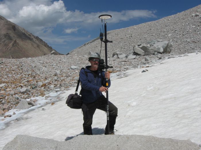
Technical equipment
Instruments GPS MAGELLAN ProMark3 RTK are used for the survey – single-frequency GPS system, working in RTK mode in the 3rd class of accuracy mapping.
Survey methods
Two basic methods are used for surveying:
· Postprocessing – rough data are measured out in the field and correction is made subsequently at data treatment
· RTK (Real Time Kinematic) – aiming of real coordinates of surveyed points is made directly in the field
Treatment of surveyed values
Final report with coordinates presented in form of geographic system WGS-84 or in form of projected coordinate systems UTM or S-JTSK used in the Czech and Slovak Republic represents final output.